
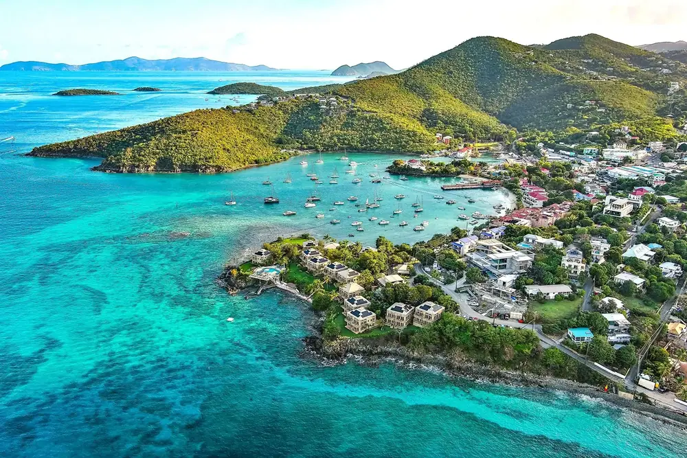
Centerline Road Scenic Drive: Views, Stops and a Hilltop Lunch
Drive Centerline Road from Cruz Bay toward Coral Bay with historic sites, panoramic overlooks and a mid-island meal at Drifters.
· 3 min read · The Drifters Team
Centerline Road is the route that explains St. John's shape. It climbs away from Cruz Bay, crosses ridges and valleys, passes historic estate landscapes, and descends toward Coral Bay. Officially Route 10, it is the island's main east-west artery, connecting to North Shore Road (Route 20) near Cruz Bay and to Route 107 down toward Salt Pond and the East End.
It is also a working road used by residents, taxis, delivery vehicles, and emergency services. The scenic drive must be planned around safe pull-offs and focused driving.
Stop 1: Susannaberg
The Windmill Bar is located at 17A Estate Susannaberg, approximately two miles up Centerline Road. Its official directions lead vehicles to a designated parking area, and the property incorporates the historic Susannaberg windmill.
Use the business parking area when visiting. Do not stop on Centerline Road to recreate a view.
Historical context along the road
Centerline Road crosses landscapes shaped by Indigenous history, plantation agriculture, enslaved labor, emancipation, and later community development. Estate names and ruins must not be presented as decorative scenery without context.
The National Park identifies Catherineberg as a former sugar plantation and factory site with surviving windmill and boiling-house structures.
Optional detour: Catherineberg
Catherineberg is reached from a side road rather than by stopping on Route 10.
Before visiting:
- Check current road conditions.
- Confirm the rental agreement permits the route.
- Do not block residential access.
- Park only where allowed.
- Do not climb or alter the ruins.
The site is a historic resource, not an adventure structure.
Stop 2: Drifters
Drifters sits at 71 Estate Carolina at the former Colombo's site. It opens daily from 9 AM–6 PM, with breakfast from 9 AM and the all-day menu from 11:30 AM.
This is the practical midpoint for:
- Breakfast before continuing east
- A smoothie or wellness shot during the drive
- Lunch after a North Shore morning
- A break before returning west
On-site parking lets the driver rest without creating a roadside stop, and it is a useful reset point on the way toward Coral Bay or Salt Pond, or on the return from a South Shore hike like Ram Head.
Stop 3: the Coral Bay view
Use only a clearly established pull-off with enough room for the entire vehicle. If the space is full, continue driving.
- Signal early.
- Pull completely out of the travel lane.
- Watch traffic around the curve.
- Keep people out of the roadway.
- Leave when the pull-off becomes congested.
The article should not publish an unofficial pin that encourages dangerous parking.
Stop 4: Coral Bay
Coral Bay is a community, not merely a turnaround point. Spend time at a local business, look across the working harbor, and understand how the eastern side differs from Cruz Bay. From here, Route 107 continues south toward Salt Pond Bay, Lameshur Bay, and the Ram Head trailhead.
Driving rules
- Drive on the left, even though the vehicle's steering wheel is on the left side — this combination catches first-time visitors off guard more than any other detail of island driving.
- Brake before curves, not in them.
- Let local traffic pass when safe.
- Do not stop in the travel lane.
- Keep the driver sober and focused.
- Watch for animals, including free-roaming donkeys and goats, and pedestrians walking the road's edge.
- Finish the first cross-island drive in daylight.
Weather and seasonal notes
Brief showers can reduce visibility and make some curves slicker, particularly in the wetter months from late summer into fall. Slow down rather than continuing at a dry-road pace, and treat any washed-out shoulder near Catherineberg or the Coral Bay descent with extra caution after heavy rain.
A realistic half-day
- 9 AM: leave Cruz Bay
- Optional Susannaberg stop
- Optional Catherineberg visit when access is appropriate
- 11:30 AM or noon: Drifters
- Continue toward Coral Bay
- Return west before the driver is tired
Do not combine this with a long hike, four beaches, and a fixed sunset reservation. For a fuller week that fits a Centerline Road day alongside beaches and a boat day, see the 5-day St. John itinerary.
Frequently Asked
- Is Centerline Road Route 10?
- Yes.
- Is Catherineberg part of the National Park?
- Yes. NPS identifies it as a historic former sugar plantation and factory site.
- Where can I eat along the route?
- Drifters and other Centerline Road businesses serve different portions of the drive. Drifters is positioned mid-island for breakfast and lunch.
- Is Centerline Road difficult?
- It is paved but steep and winding. New drivers should travel slowly and keep left.
More from the Journal
 Place & View
June 26, 2026 · 3 min read
Cruz Bay to Coral Bay: The Best Mid-Island Food Stop
Driving from Cruz Bay to Coral Bay? Plan a scenic mid-island stop for breakfast, lunch, smoothies and panoramic views at Drifters.
Read the story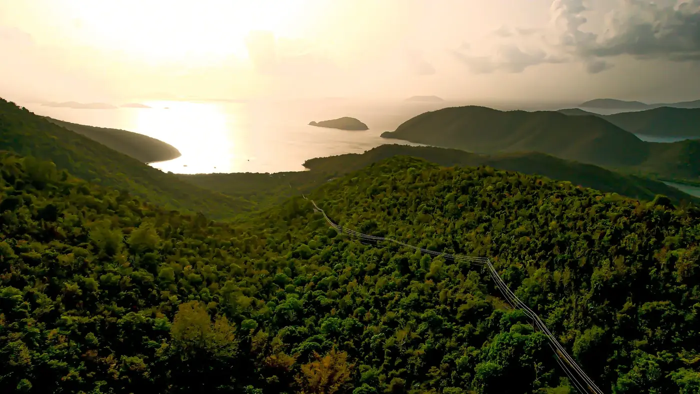 Place & View
July 24, 2026 · 3 min read
Restaurants With a View on St. John: Hilltop vs. Waterfront Dining
Compare hilltop, rooftop and waterfront restaurants on St. John, from panoramic ridge views to tables beside Cruz Bay.
Read the story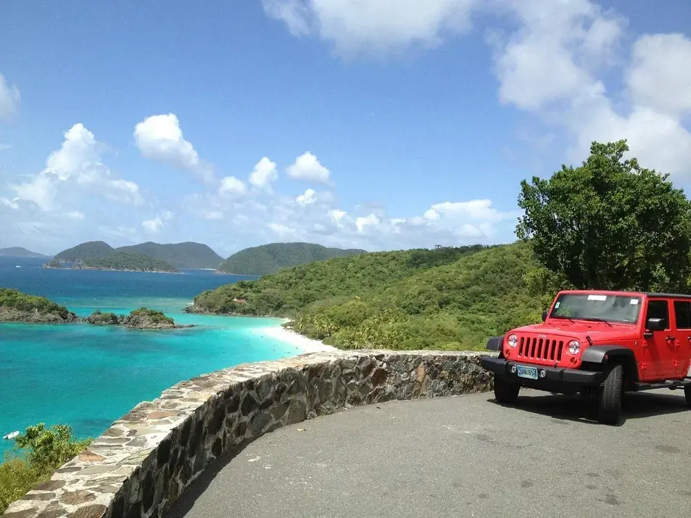 Island Guides
March 20, 2026 · 3 min read
A One-Day St. John Jeep Route: Beaches, Views and a Mid-Island Meal
Follow a realistic St. John Jeep route through North Shore beaches, Maho Bay, panoramic overlooks and a mid-island lunch at Drifters.
Read the story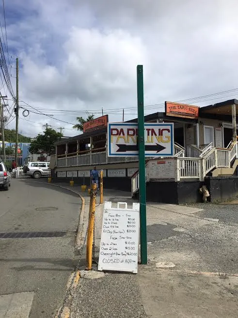 Place & View
July 3, 2026 · 3 min read
St. John Restaurants With Parking: Skip the Cruz Bay Circling
Learn where restaurant parking is easiest on St. John, how Cruz Bay lots work and why mid-island dining can simplify your day.
Read the story